Verified View AVR
Clear Visuals for Planning Decisions
Get a Free Quote From Us Today!
We aim to get back to you in 24 hours.
At Verified View AVR, we specialise in providing Accurate Visual Representations (AVR) for planning and development projects. Combining thorough survey data with detailed photography and proposed design information, we accurately visualise how new developments will appear from chosen viewpoints.
Our services are crucial for ensuring that all stakeholders, including planning authorities, architects, and developers, have a clear understanding of a project’s visual impact.
Who Is Verified View AVR?
At Verified View AVR, we are leading experts in creating Accurate Visual Representations that aid in the planning and development process. Our team combines precise survey data with high-quality photographic techniques and design information to produce verified views.
We employ advanced equipment such as total stations and UAVs (drones) for accurate georeferencing and topographical surveys, ensuring pinpoint accuracy in our visualisations.
We adhere to guidelines established by the Landscape Institute and the Chartered Institute of Building, ensuring that every visualisation meets industry standards for authenticity and reliability. Our verifications are instrumental in Environmental Impact Assessments (EIAs), as they provide a realistic depiction of proposed projects, benefiting planners and architects alike.
This ensures that every visualisation is an exact reflection of the future landscape. We are dedicated to helping clients meet planning regulations and communicate project intent effectively.
Whether you are a developer, an architect, or a local authority, we provide the expertise you need to make informed decisions.
What Services Does the company Verified View AVR Provide?
We offer a range of services tailored to meet the needs of planning and development projects in various sectors, including commercial, residential, and urban infrastructure. Our services are designed to support architects, developers, and urban planners in their project visualisation and decision-making processes.
- Accurate Visual Representations: We use survey data and advanced photographic techniques, such as high-resolution digital imaging and photogrammetry, to create accurate visual representations of proposed developments. These methods ensure the images reflect precise scale and perspective.
- Verified Views: Through rigorous data collection and analysis using geographical information systems (GIS) and CAD integration, our verified views meet the standards required for planning applications, adhering to current guidelines and regulations such as those set by the Landscape Institute.
- Survey and Photography Integration: Our process involves combining topographical survey data with photography using drones and laser scanning technology to ensure precise visual illustrations that capture every detail of the existing environment.
By delivering these services, we help our clients present clear, reliable visuals for smooth project approvals.
When Is Accurate Visual Representation Needed?
Accurate Visual Representation is crucial whenever a new development is proposed that may impact the local environment. This process is particularly vital during planning application submissions, as it helps illustrate and assess a project’s visual impact accurately.
Our service is indispensable when developments are proposed in sensitive or heritage areas, where maintaining visual aesthetics and environmental harmony is particularly important to stakeholders.
We use tools such as 3D modelling, photomontage techniques, and aerial imagery to provide a clear understanding of how projects will integrate with existing landscapes. For projects involving tall structures like wind turbines or high-rise buildings, Accurate Visual Representation can help evaluate their impact on skyline views.
Additionally, we adhere to guidelines set by local planning authorities to ensure our visuals meet required standards.
Our expertise can assist in gaining planning consent by effectively showcasing how a development harmonises with its surroundings. Contact us to discuss how we can support your project through high-quality visual representation.
Get a Free No Obligation Quotation Today
How Does Verified View AVR Work?
Our process for creating Accurate Visual Representations (AVRs) is straightforward and efficient, ensuring that each project receives the attention it deserves.
- Initial Consultation: We engage with stakeholders, including architects and developers, to understand the project’s specific requirements and objectives. This step ensures that all parties are aligned on the visualisation goals and intended outcomes.
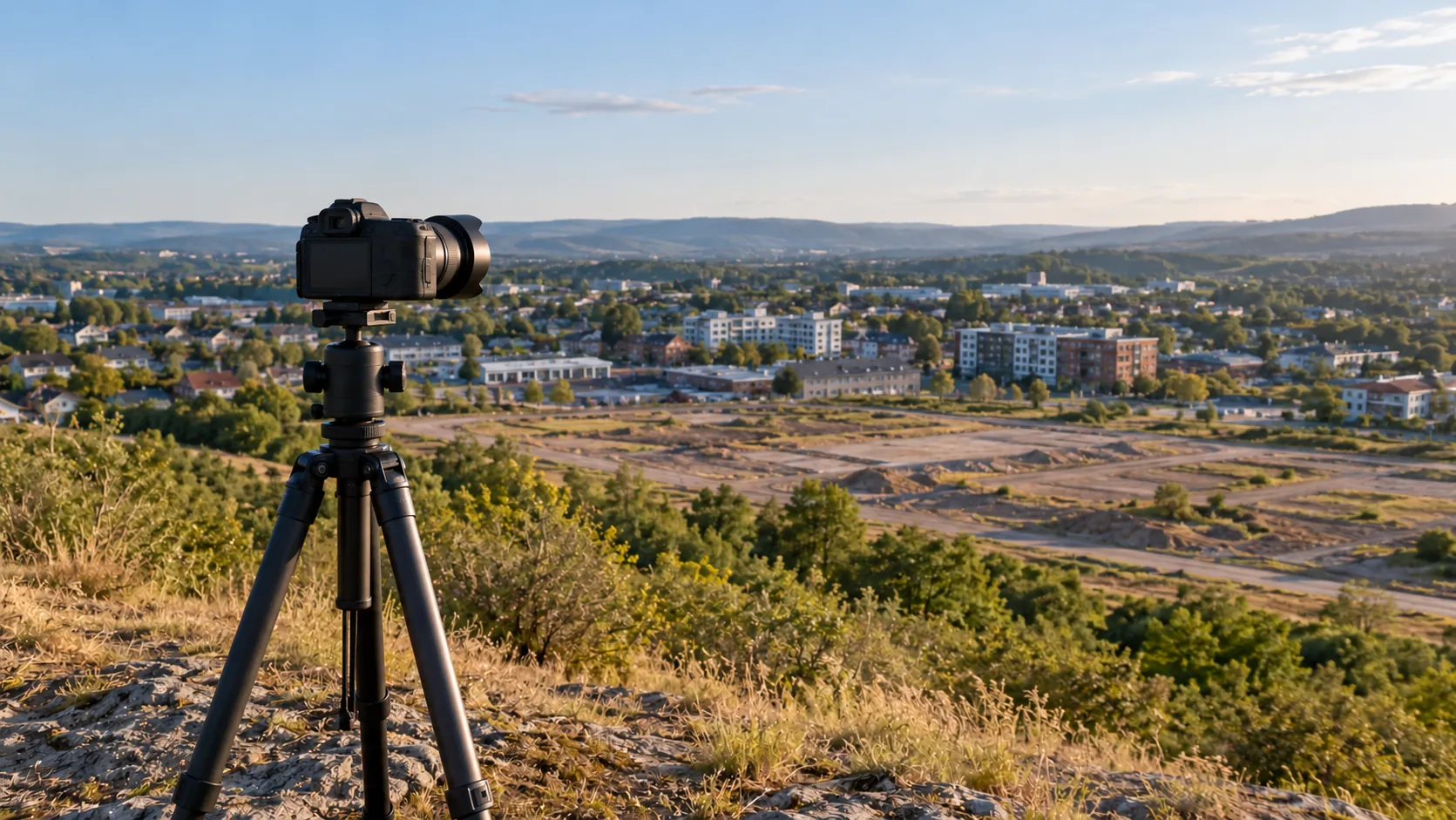
- Data Collection: Our team conducts detailed site surveys, using high-resolution cameras for capturing photographic data from the most relevant viewpoints. We consider lighting conditions, weather patterns, and seasonal variations to ensure data accuracy.
- Integration: We use advanced CAD software to merge survey data, photography, and design plans. This integration process ensures the visualisation accurately reflects proposed changes in relation to existing landscapes and structures.
- Review and Finalisation: Each visualisation undergoes a thorough review to ensure compliance with industry planning guidelines. We work closely with clients to refine the visualisation, guaranteeing their satisfaction before final delivery.
Our commitment to detail in every step means that our AVRs provide a reliable tool for project approvals and community consultations. Contact us to see how we can enhance your project with Verified View AVR.
Who Does Verified View AVR Help?
We assist a diverse range of clients involved in development projects, providing them with essential visual resources and documentation.
- Architects and Designers: We offer precise visuals such as photomontages and 3D renderings to support their design concepts. These tools help bridge the gap between abstract ideas and client expectations by visualising proposed structures in their intended environments.
- Developers: Our services aid developers in effectively communicating the potential impacts and benefits of their projects to stakeholders through verified views that ensure transparency and build trust.
- Planning Authorities: By supplying accurate visual documentation, we assist planning authorities in making informed decisions. Our verified view images adhere to recognised standards, such as the Landscape Institute’s guidelines, ensuring consistent quality and reliability.
- Environmental Consultants: We provide visuals that support environmental assessments and reports. These visuals integrate seamlessly with Geographic Information Systems (GIS) data, enhancing the accuracy of environmental impact analyses.
Working with Verified View AVR ensures clarity and precision in every aspect of project delivery, building a strong foundation for successful outcomes.
How Quickly Can Verified View AVR Respond?
We understand the importance of timely project delivery. Typically, our response time for preliminary consultations is within five business days.
During these consultations, we gather essential information about your requirements, discuss the project’s objectives, and establish a clear timeline.
Our visual representation projects, such as architectural visualisations and photomontages, are usually completed in two to four weeks. This timeframe can vary based on project complexity and scope, including factors like the level of detail required and the number of revisions requested.
We use industry-standard software like Autodesk 3ds Max and Adobe Photoshop to ensure precise and accurate visuals.
For larger-scale projects or those requiring specific planning permissions, additional time may be necessary to ensure compliance with local regulations. We are committed to maintaining transparency throughout the process and will keep you informed of progress at every stage.
Reach out to us to discuss your project timeline today.
Request a free quote
How Does Verified View AVR Ensure Quality and Compliance?
At Verified View AVR, we adhere to industry standards and best practices in surveying, photography, and visualisation. Our team is trained in the latest technologies and methodologies, ensuring that every image and representation meets regulatory requirements.
We employ advanced photogrammetry techniques along with precise georeferencing to ensure spatial accuracy.
Our use of LiDAR scanning allows us to capture detailed topographical and structural data, which is essential for creating accurate 3D models. All equipment is regularly calibrated to maintain precise measurements.
We also follow the guidelines set by the Royal Institution of Chartered Surveyors (RICS) and the Planning Inspectorate in the UK to ensure our reports are both reliable and recognised.
We maintain rigorous quality checks throughout the process to guarantee accuracy and compliance with planning regulations. By combining these practices, we provide dependable services that meet the needs of developers, architects, and local councils alike.
Why Choose Verified View AVR?
Choosing Verified View AVR for your project offers several advantages:
- Expertise: With decades of experience in accurate visual representation for planning and development, we employ industry-leading practices like photogrammetry and 3D modelling. Our team is skilled in using tools such as AutoCAD and Revit, ensuring precise and reliable outputs.
- Comprehensive Services: We integrate survey data, photography, and design to provide a cohesive service that aligns with industry standards like BS 1192 for construction project information. Our services include creating verified views for Environmental Impact Assessments and architectural visualisations.
- Client-Focused Approach: We provide tailored solutions to meet specific project needs, whether working with architects, developers, or local authorities. This ensures that project requirements are met with precision and satisfaction.
- Commitment to Quality: We ensure every project lives up to planning and client expectations by adhering to specifications and conducting rigorous quality checks. Compliance with national planning policy framework guidelines enhances our credibility.
Contact us to learn how our services can support your project.
Frequently Asked Questions
What is an Accurate Visual Representation (AVR)?
An Accurate Visual Representation (AVR) is a precise portrayal of how a new development will appear, combining survey data and photographic techniques.
Are your visualisations approved for planning applications?
Yes, our verified views meet the rigorous standards required for inclusion in planning applications.
How do you ensure the images are accurate?
We use precise survey data and photographic methods to integrate proposed designs accurately, ensuring reliable visual outcomes.
Get a Free Quote
For precise and reliable visual representation services, reach out to Verified View AVR. Contact us today to discuss your project and request a free, no-obligation quote.
speak with our team today
What People are Saying About Us
★★★★★
“Verified View AVR produced accurate verified views to the standard our council required, so the planning application went in smoothly. I would happily use them again.”
Liam Davies
London
★★★★★
“Very happy with the verified views from Verified View AVR. Would highly recommend them to anyone.”
Aisha Holloway
London
★★★★★
“Verified View AVR were even more helpful than we hoped, so patient with every question. I would recommend them to anyone without a second thought!”
Owen Hargreaves
London
★★★★★
“The images from Verified View AVR looked great in our planning pack and went down well with the planners. Would use again.”
Claire Sinclair
London
Our Locations
We are proud to work nationally across the UK, allowing us to ensure we can provide services to you.
For a full list of counties we cover in the UK, see below.